Display units
Wave height
Wind speed
West Cornwall
Hayle, Cornwall
Gwithian and Godrevy form the north-eastern end of St Ives Bay, with a long sweep of sand, multiple access points and Godrevy lighthouse visible offshore.
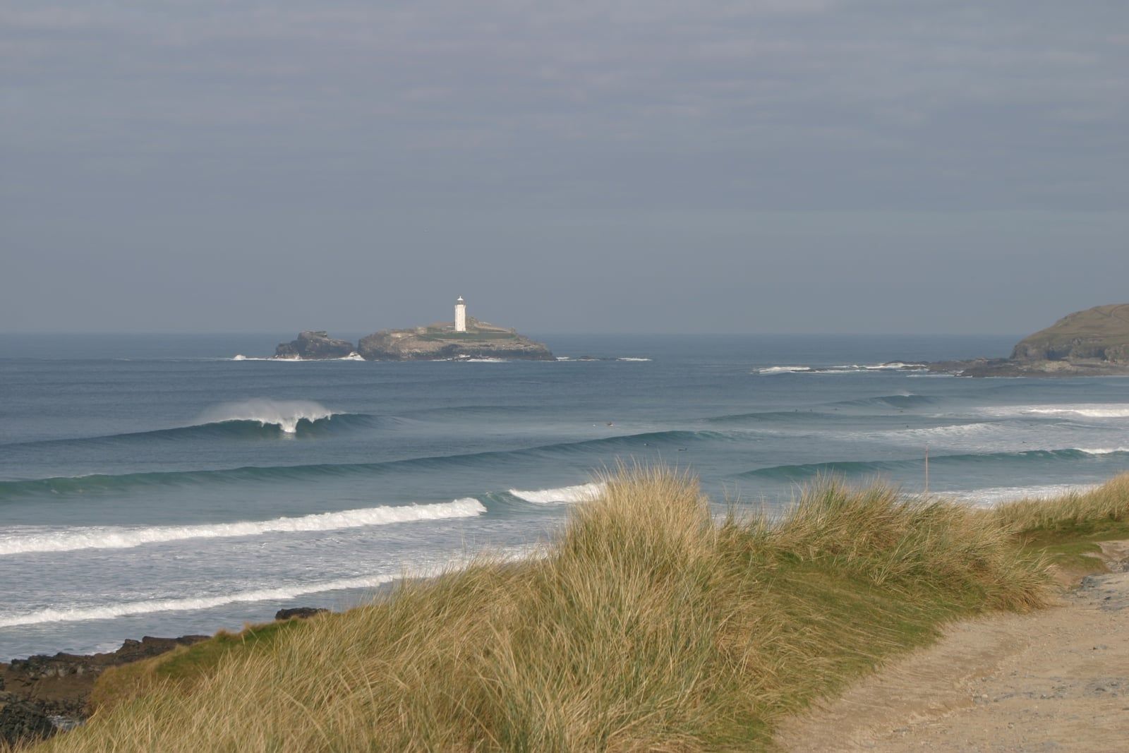
Different banks work along the bay, so a short walk can materially change the wave and crowd. The beach is exposed to west and north-west swell, while the curve of St Ives Bay gives some variation in wind and wave angle between Gwithian and Godrevy.
Gwithian, the towans and the National Trust land at Godrevy provide separate approaches. Car parks can fill early, and the walk through the dunes makes a memorable exit point worth choosing before you paddle out.
Offshore and inshore measurements near this beach. Distance is straight-line, not a prediction of breaking wave height.
View all wave buoysCamera links open the provider's site in a new tab. Some services require paid access.
SurfHog already publishes a detailed forecast for Godrevy and Gwithian. Beach-specific reports for the rest of this guide are the next phase.
View the Godrevy and Gwithian forecastGuide reviewed 23 August 2026. Official information can change at short notice.