Display units
Wave height
Wind speed
New beach guide
Start with 14 of Cornwall's main surf spots, plus a guide to looking beyond them. Each named-spot guide covers the beach, access, hazards, and the nearest live buoys and webcams.
A plain-English account of exposure, wave shape and who the spot can suit.
Links to nearby measured wave conditions, ordered by straight-line distance.
The closest active cameras from SurfHog's checked webcam catalogue.
Access notes and hazards worth checking in person, with current official sources.
7 beaches
North Cornwall
Bude
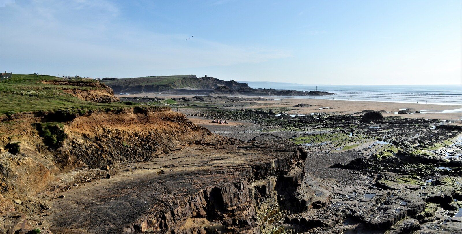
Crooklets is Bude's accessible town beach, with a promenade, parking, surf shops and the local surf life saving club close to the sand.
North Cornwall
Wadebridge
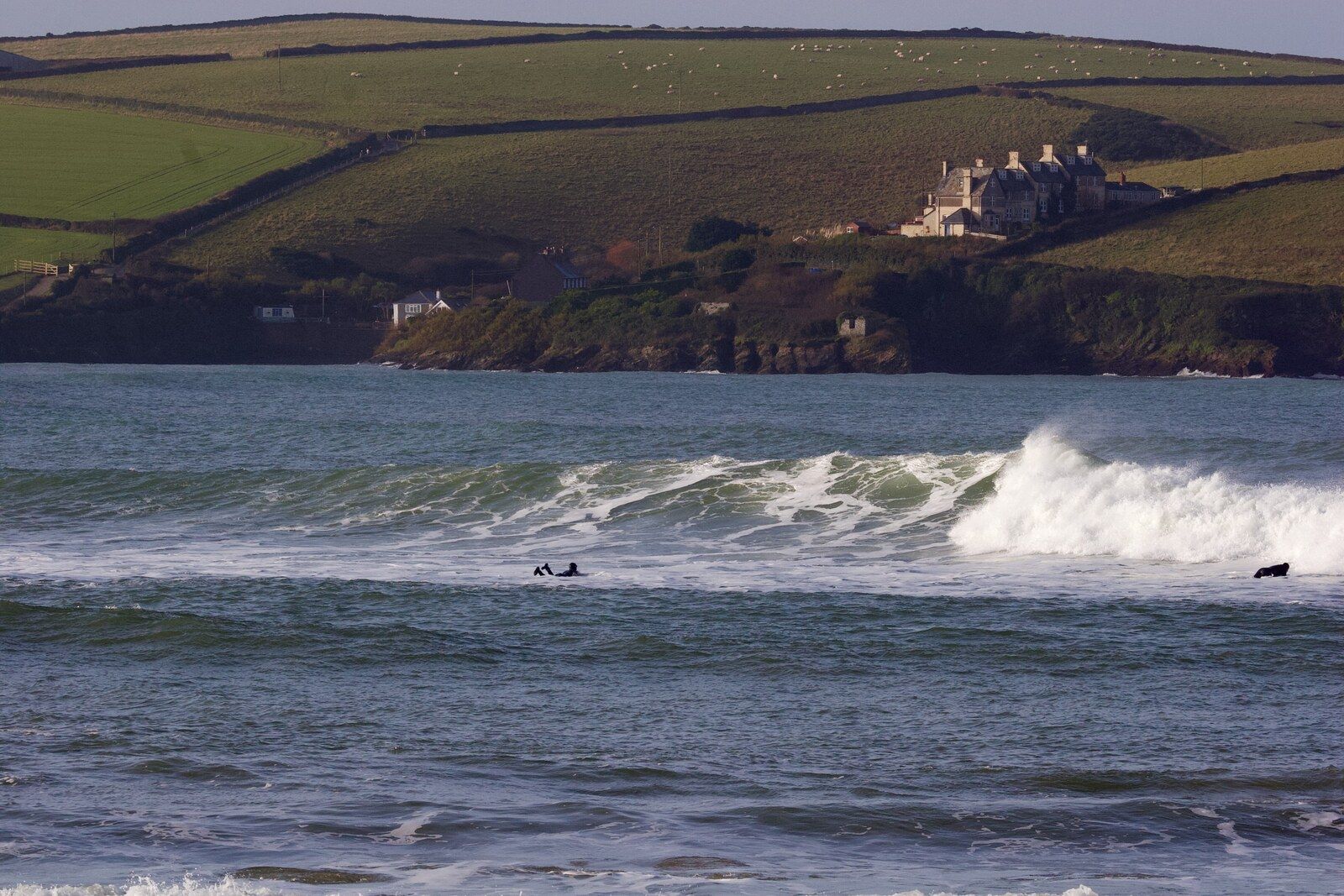
Polzeath is a wide sandy bay near the mouth of the Camel estuary. Its easy beach access, surf schools and facilities make it one of Cornwall's busiest learning beaches.
North Cornwall
Newquay
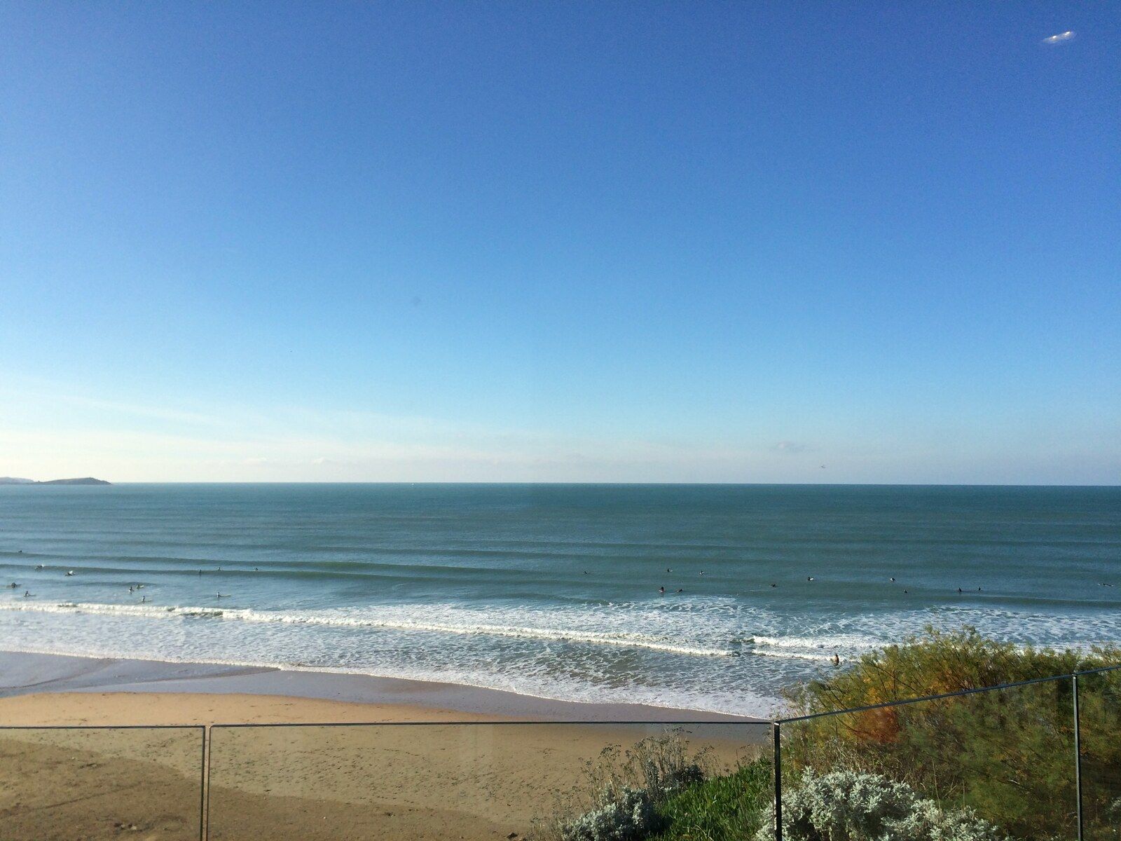
Watergate Bay is a long, open beach north of Newquay with room to spread out at lower water and a cluster of surf and food businesses near the main access.
North Cornwall
Newquay
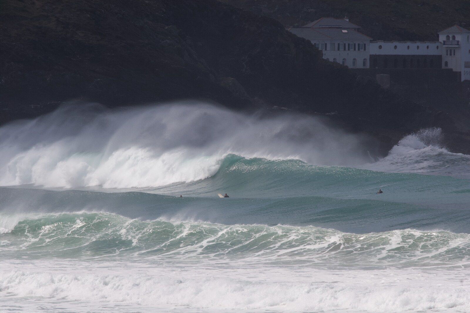
Fistral is Newquay's best-known surf beach, a long sandy bay framed by headlands and set up for watching, learning and competing.
North Cornwall
Perranporth
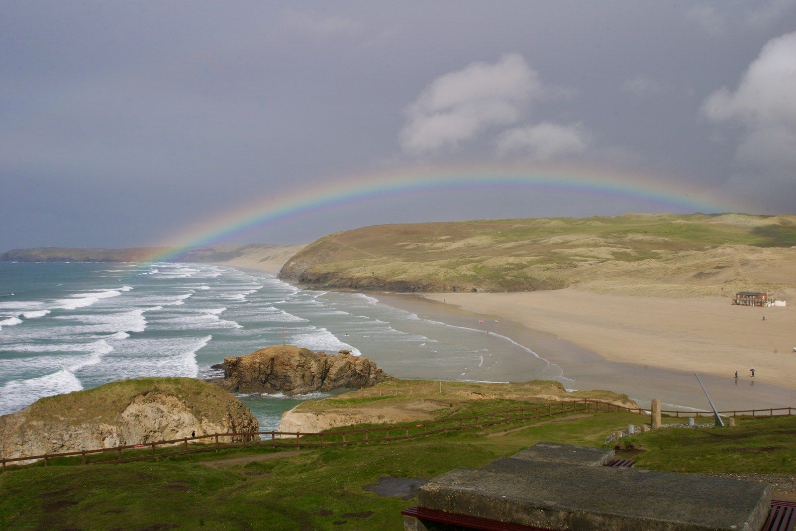
Perranporth is a broad, west-facing beach with direct town access. At low water it joins the sands towards Penhale and offers a lot of room, though not always a quiet line-up.
North Cornwall
St Agnes
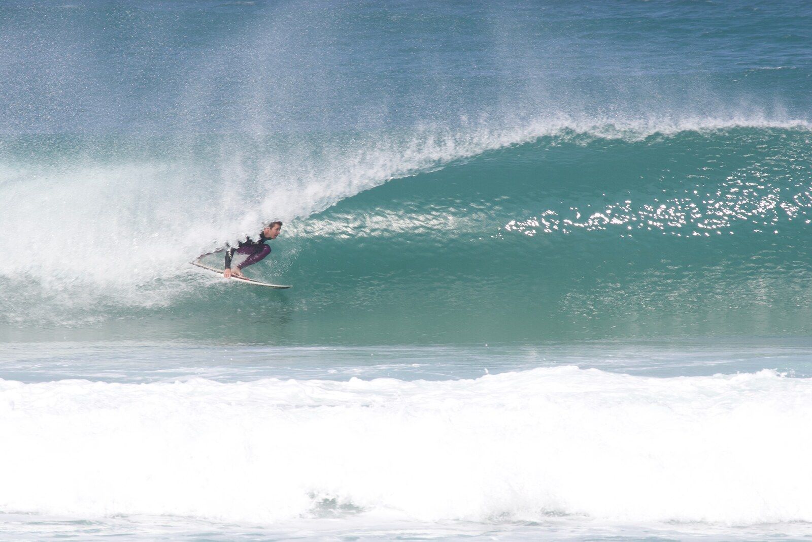
Porthtowan is a steep-sided village beach with straightforward access. At low water the sand extends towards Lushington Cove and Chapel Porth.
North Cornwall
St Agnes
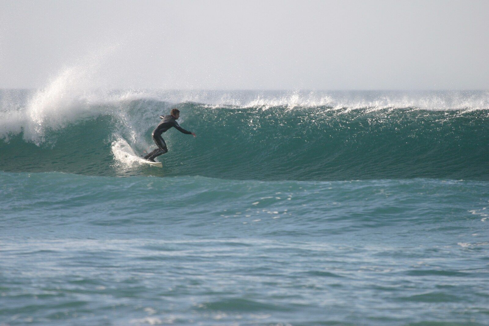
Chapel Porth is a small National Trust cove beneath the Wheal Coates mining landscape. The beach expands dramatically at low water and nearly disappears at high water.
3 beaches
West Cornwall
Hayle
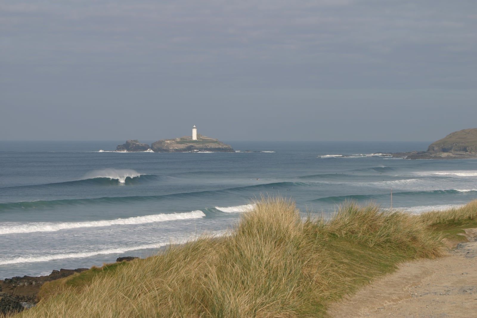
Gwithian and Godrevy form the north-eastern end of St Ives Bay, with a long sweep of sand, multiple access points and Godrevy lighthouse visible offshore.
West Cornwall
St Ives
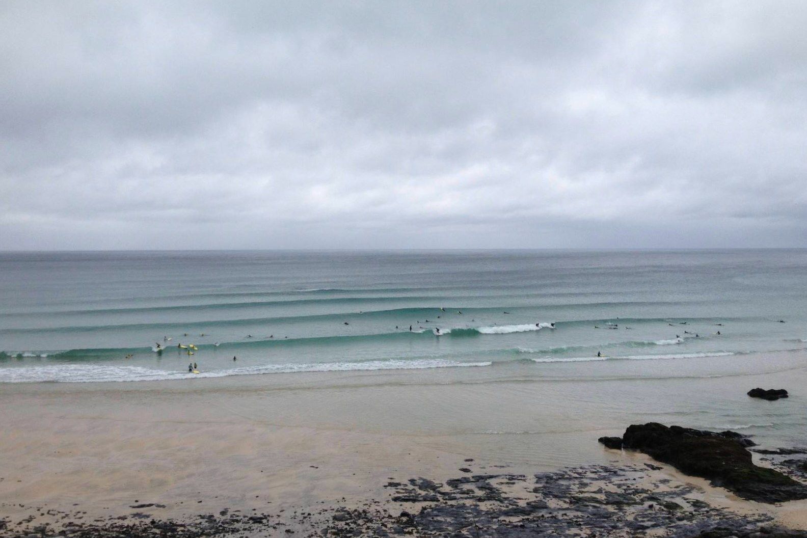
Porthmeor is St Ives' Atlantic-facing town beach, set between The Island and the cliffs below the Tate. It combines a compact surf beach with immediate town facilities.
West Cornwall
Land's End
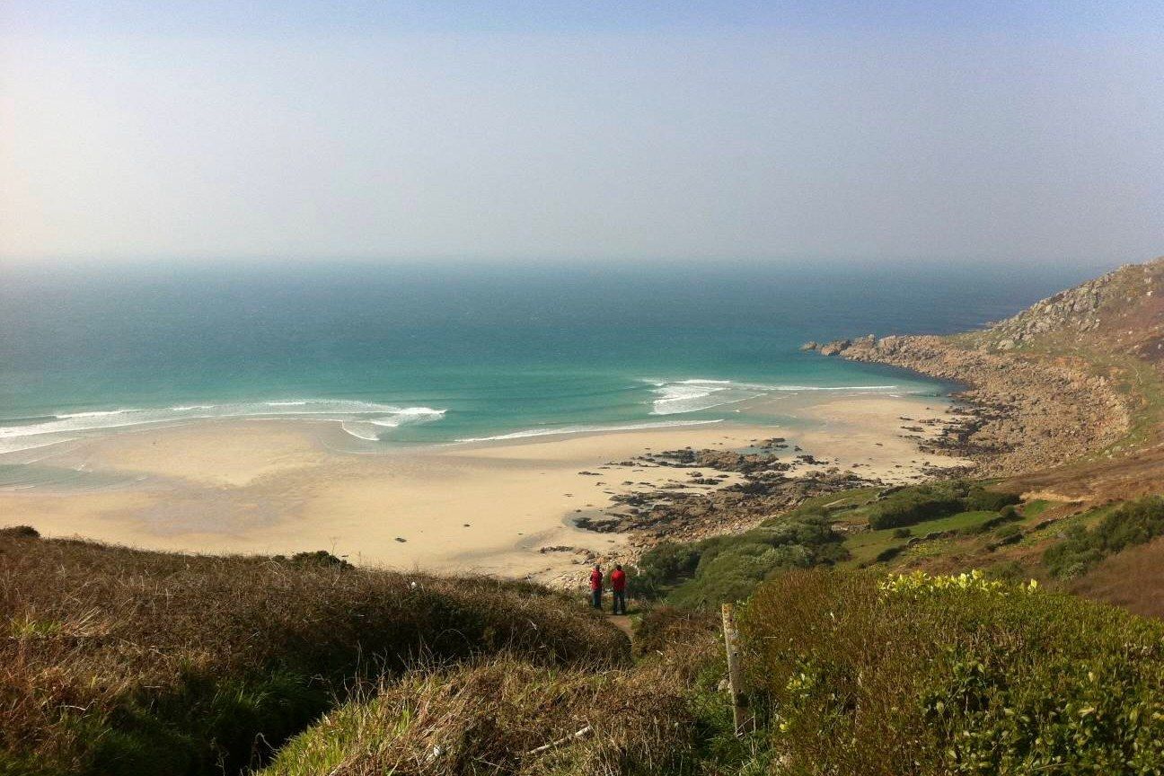
Sennen Cove and Gwynver are adjoining sections of a long west-facing sweep near Land's End. They join across the sand at low tide, but their access and character differ: Sennen has village facilities and an easy beach approach, while Gwynver lies below steep cliffs and a demanding path.
4 beaches
South Cornwall
Mount's Bay
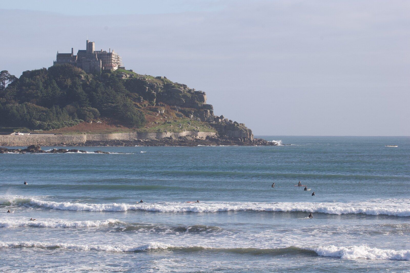
Marazion is a broad sandy beach beside the town, looking across Mount's Bay to St Michael's Mount. It has easy access and facilities, but an unreliable surf window.
South Cornwall
Mount's Bay
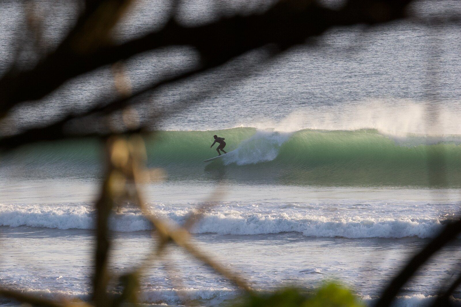
Perranuthnoe is a cliff-backed sand and shingle beach east of Marazion. It is quieter than the main resort beaches, but almost all of the beach disappears at high water.
South Cornwall
Mount's Bay
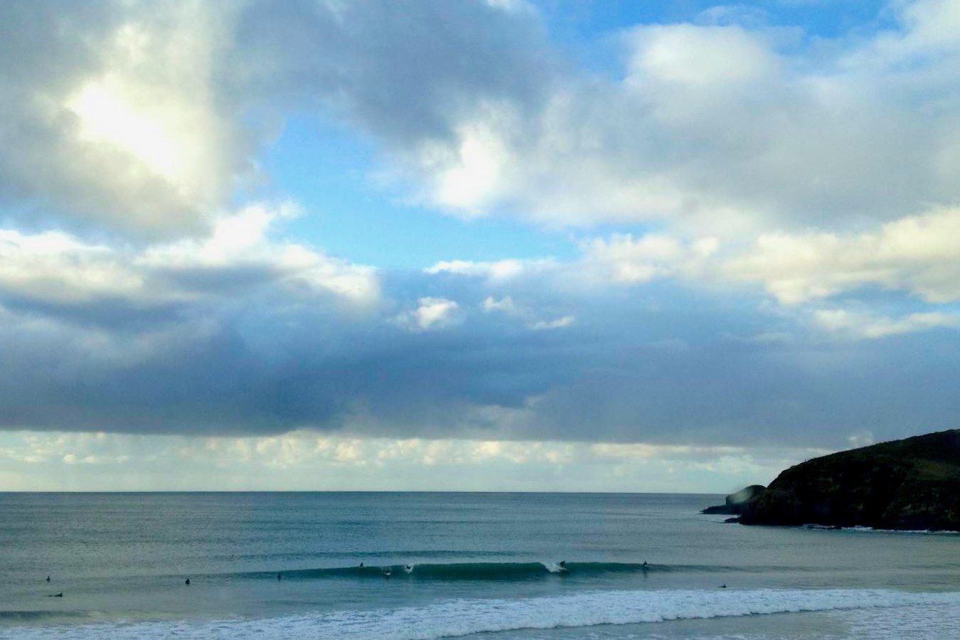
Praa Sands is a long sandy beach on the south-west side of Mount's Bay. It is one of the area's main options when swell reaches the south coast.
South Cornwall
Porthleven
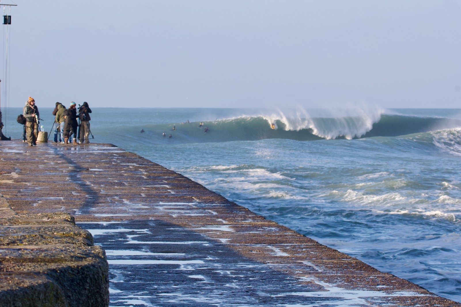
Porthleven's harbour sits beside Cornwall's best-known south-coast reef. The wave is compelling to watch and belongs in a guide, but it is not a general-access surf spot.
1 guide
Across Cornwall
Cornwall's coast
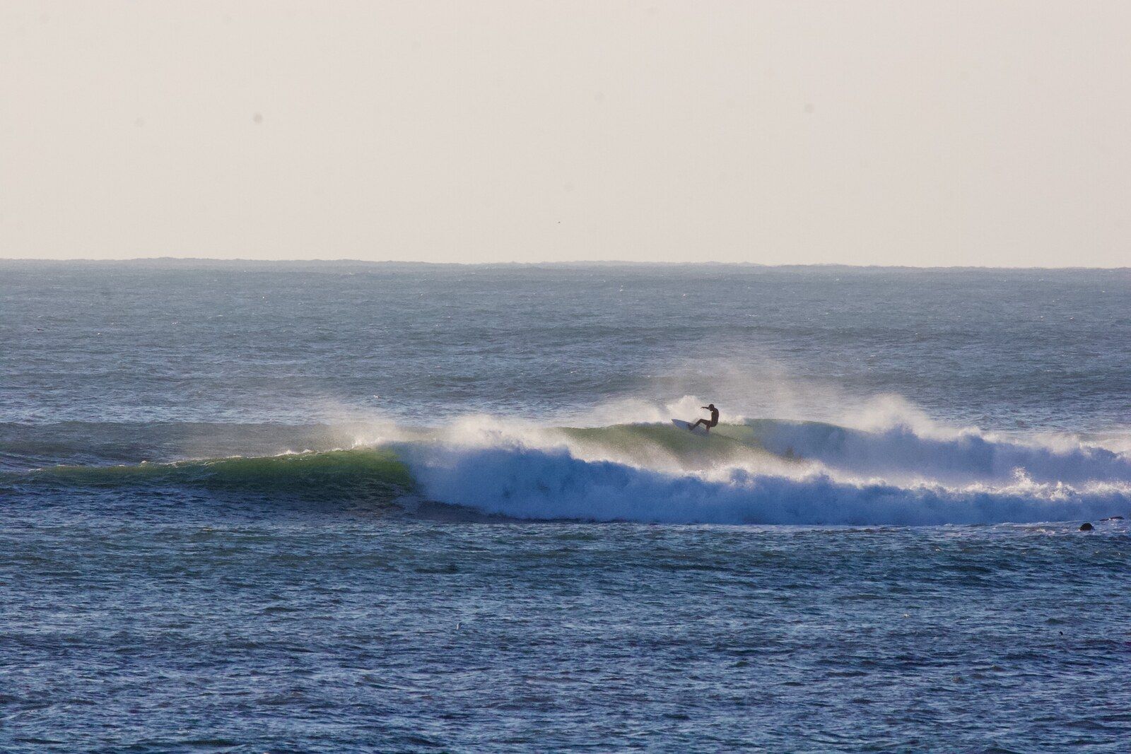
Cornwall has more surfable corners than any short list can name. Staying local, chatting to locals and walking the coast when it is flat can reveal banks, offshore reefs and coves that maps alone do not explain.
Conditions, banks, access and lifeguard patrols change. Check the beach in person, read local signs, stay within your ability and use a lifeguarded beach where possible. No flags means no lifeguards.
Read Cornwall Council beach safety advice, opens in a new tab