Display units
Wave height
Wind speed
West Cornwall
St Ives, Cornwall
Porthmeor is St Ives' Atlantic-facing town beach, set between The Island and the cliffs below the Tate. It combines a compact surf beach with immediate town facilities.
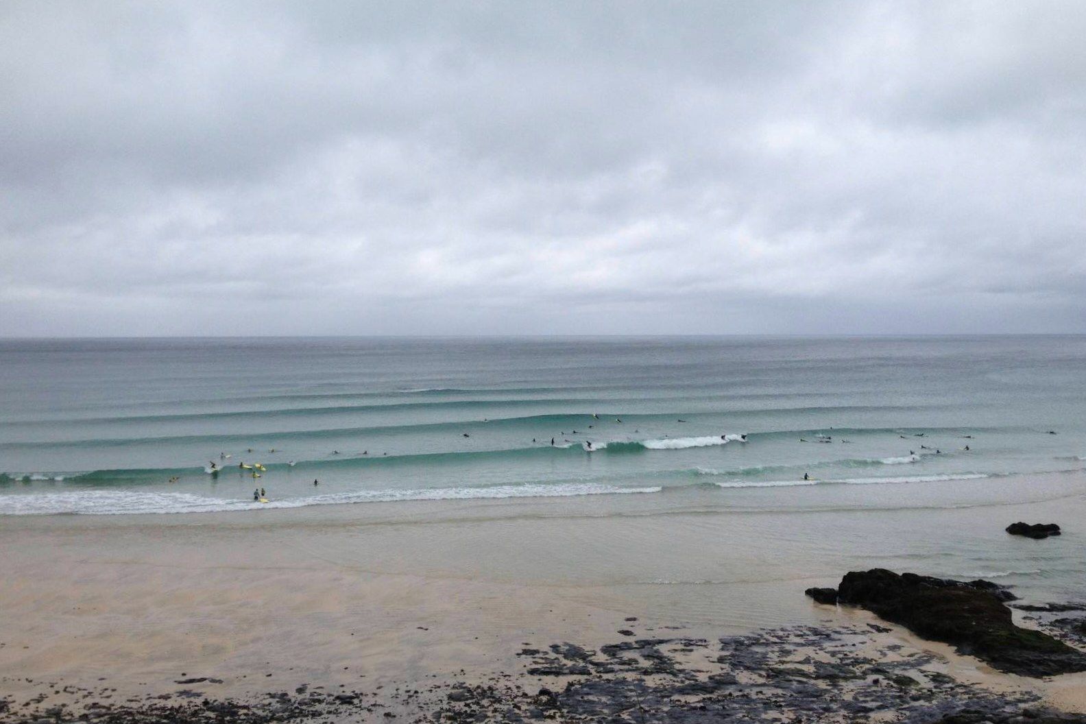
The headlands give the bay some shelter from crosswind and break up the swell, but the beach can still deliver hollow, fast waves. Rides are often shorter than on the long open beaches, and the usable peaks become busy quickly.
The beach is walkable from central St Ives. The closest car park is small, so public transport or parking farther out is often less frustrating during busy periods.
Offshore and inshore measurements near this beach. Distance is straight-line, not a prediction of breaking wave height.
View all wave buoysCamera links open the provider's site in a new tab. Some services require paid access.
A calibrated report for this beach is planned. For now, use the measured buoy readings and cameras above, then inspect the beach on arrival.
Guide reviewed 23 August 2026. Official information can change at short notice.